I’m completely new to the VEX Forums, so apologies if this is the wrong catagory.
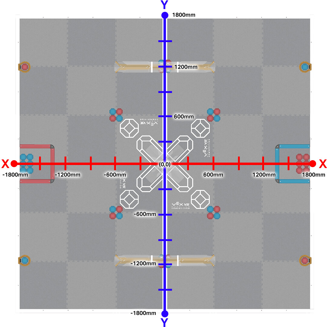
I’m also completely new to the VEX V5 competitions and I need to know if there’s a way to move around the Push Back arena by coordinates, maybe by using the GPS Sensor with DriveTrain.
This is the specific map I found online that I’m talking about:
I have everything, and I’m coding in Python, unlike most who code in C++.
Anyone can answer this question for me, or is it some easy questions that new people like me don’t know the answer to? Please tell.
You might be able to, but you’d have to (if it lets you) make functions for the coordinates. Because (now I’m not sure about this) there aren’t any coordinate codes in the line code
Welcome to the Forum!
The Vex V5 GPS sensor can be used to accomplish this, but in my opinion, the GPS sensor takes too long to take readings and can be unreliable on faster and more competitive robots. In addition, if you are newer to V5, it can be somewhat difficult to code and get it to work effectively. Not that I expect you to build and code one, another option is to make a APS or odom. While this system is incredibly fast, accurate, and reliable, it is probably one of the hardest things for a student to build and code. You can visit the Purdue Sigbot Wiki here to gain a better understanding of this. This website also contains a ton of useful information for teams.
If you are trying to code an accurate autonomous, and that’s why you need the coordinate system, there are other ways to be incredibly accurate that don’t require as much skill in coding such as the Vex inertial sensor.